|
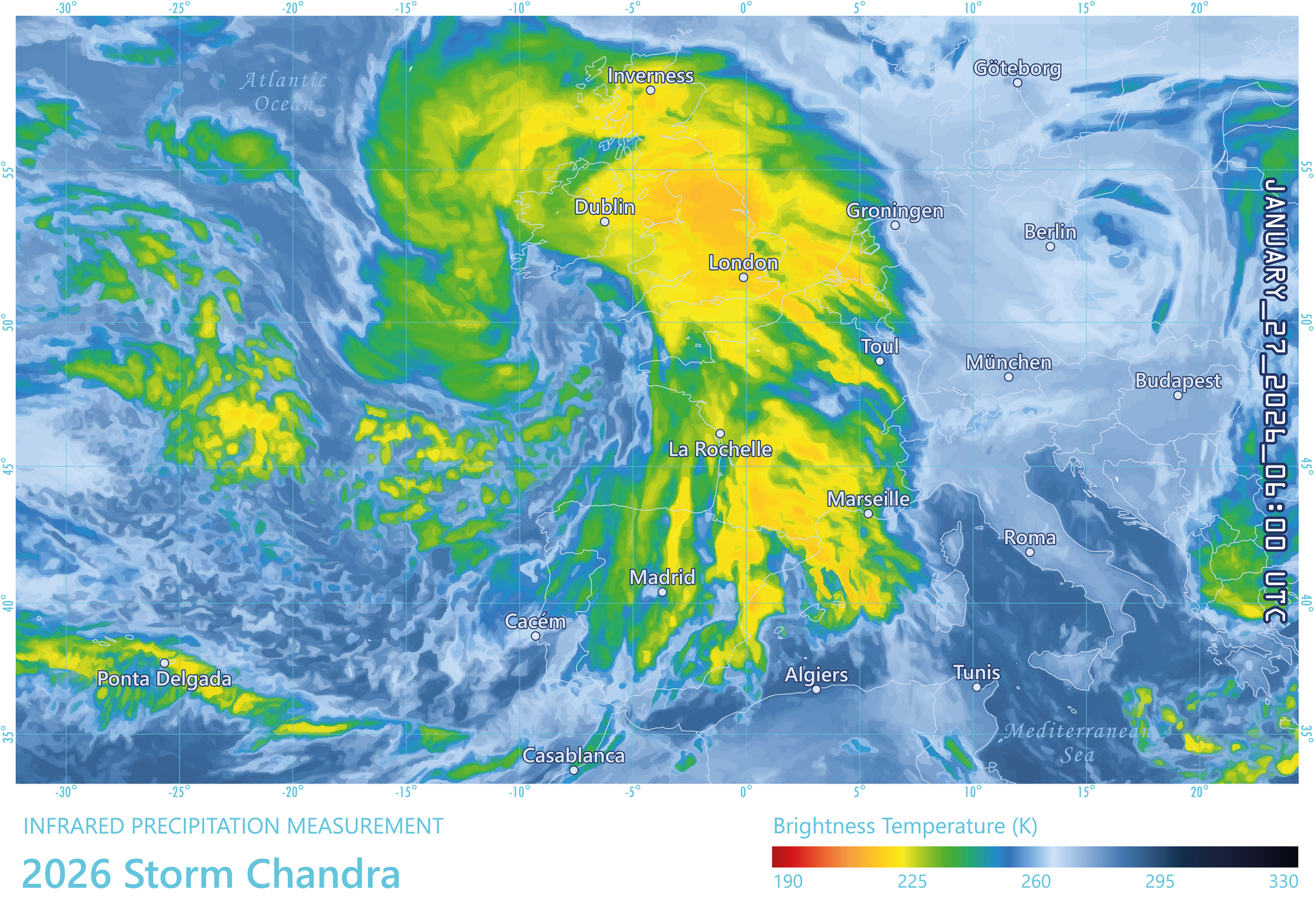
Using flooding from a recent wave of storms in the U.K. as an example, Esri’s Alexander Martonik recently authored “Hyperlocal View of Risk Gains Ground,” which examined how corporate and financial industry leaders are using geospatial analysis to “pinpoint precise threats, from flooding to supply chain bottlenecks.”
“Weeks before the storms struck, the U.K.’s central bank finalized +requirements for private banks to incorporate physical climate risks, including flooding, into credit assessment and risk management,” Martonik writes. In 2019, Site Selection Editor in Chief Adam Bruns attended the FY2020 State Fiscal Conference, “Truth and Integrity in State Budgeting: Looming Risks, Durable Solutions,” hosted by the Federal Reserve Bank of Atlanta and the Volcker Alliance. As recounted in Site Selection’s 2019 Global Groundwork Index rankings, Thomas G. Doe, founder and president of Municipal Market Analytics Inc., told conference attendees then that long-term credit issues are coming to the fore, noting that healthcare and pensions are indeed heavy burdens, but the heaviest is climate change. From the article:
“We’re going to be in a cycle where we first denied it exists, then we build projects to defend against it, and ultimately we have departure from areas affected by it,” said Doe, silencing the room. Noting that half of the U.S. population lives within 50 miles of a coast, he said his firm is working with a large data institution and one other firm to closely examine what risks from such events as wildfires, flooding, intense heat and hurricanes mean for the 55,000 or so issuing entities across the country. “It gets ignored. States are not really focused on it,” he said. But now is the time. “We need to look really hard at potential risk related to climate.”
|